



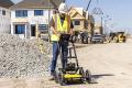
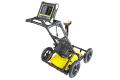



LMX200™ GPR
Géoradar
Le LMX200™ vous offre des informations de confiance inégalées pour détecter les éléments enterrés traditionnellement non-détectables tels que :
- Canalisations non métalliques y compris en PVC et en amiante-ciment
- Câbles électriques enterrés
- Réseaux d’eaux pluviale et usé en béton
- Réseaux non conducteurs pour lesquels le fil traceur installé ne fonctionne pas
- Réservoirs et drains en argile enterrés
- Fosse septique
- Structures hors réseaux telles que caves, fondations et dalles en béton
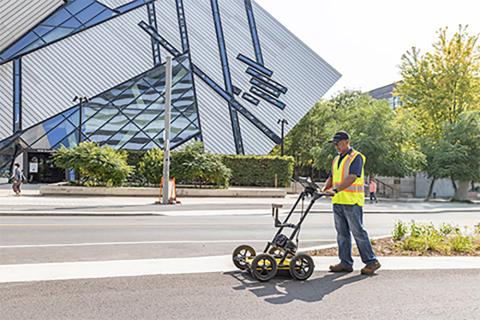
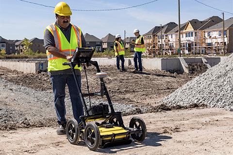
Les services publics et locaux exigent que la position des réseaux souterrains soit localisés et positionnés. Cela facilite la planification des projets et évite les risques et dangers. Le LMX200™ va encore plus loin que le LMX100™ en ajoutant des fonctionnalités supplémentaires pour vous aider à localiser et à cartographier ces réseaux. Il offre en plus le puissant mode Grid Scan et la possibilité d’utiliser un GPS externe pour profiter au maximum des fonctions SplitView et MapView.
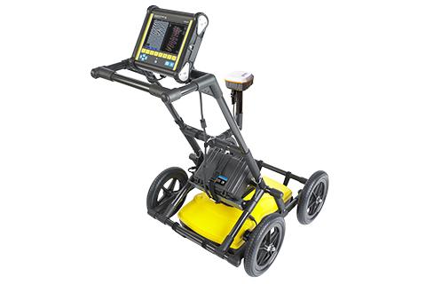
Le système LMX200SG est une solution plug and play tout-en-un pour ajouter un positionnement GNSS à haute précision à vos données GPR LMX200. Le paquet SG donne des avantages puissants de cartographie et de localisation sur le terrain et en post-traitement.
Le LMX200™ permet d’exporter les données pour archiver facilement les projets, ainsi que pour le post-traitement et la création de rapports avec le logiciel d'analyse des données en option EKKO_Project GPR.
Add high-accuracy positioning and mapping to your GPR data
Integrate GPR results into your preferred mapping solution
Included in the LMX200SG system, and available as an accessory
Capabilities include: Line Scan mode with SplitView, Grid Scan, MapView, Wi-Fi on-site mini reports
A resistive touch screen that works with gloves on, with user selectable languages and metric and US standard options.
Share directly from your display unit with built-in Wi-Fi. Option to add data markers to highlight points of interest.
A USB port allowing for easy data transfer for further data analysis.
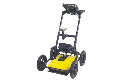
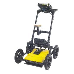
A lightweight fiberglass cart frame build making transportation easy. No metal in the build reduces interference with GPR signals.
A long lasting and swappable battery.
Innovative ultra-wideband (UWB) 250 MHz GPR antenna and DynaT for dynamic target enhancement.
Touch the screen to add color-coded interpretations to identified targets as you collect.
Send marked targets to supported mapping applications in the field and bring GPR results into existing mapping workflows.*
View GPR cross-sections alongside your survey map to help recognize linear utility patterns.*
Generate depth slices in the field using guided grids or GNSS-positioned survey lines.
View survey paths, depth slices, field interpretations and flags together.*
Generate PDF reports with screenshots and interpretations. Export CSV and KMZ files for further use.
Pair your LMX200™ with a preconfigured high-accuracy** Juniper® Geode GNSS receiver, with connectivity, setup and battery management handled at the system level.
Lightweight cart with integrated odometer and ultra-wideband (UWB) 250MHz sensor. One battery powers the display, sensor and optional GNSS
∗ External GNSS receiver required.
**indicates need to qualify high-accuracy.
Logiciel
- Voir Plus
Download the latest LMX200™ embedded system software to get the most out of your existing system.
Video

Downloads
Documentation
- LMX200 GPR - Brochure - V3 (3.7MB)
- Mapping Solutions - Family Brochure - V4 (5MB)
- LMX200 - Documentation - V2 (2.9MB)
- LMX200 GPR Accessories - Brochure - V2 (964.9KB)