



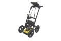

LMX150™ GPR
探地雷达
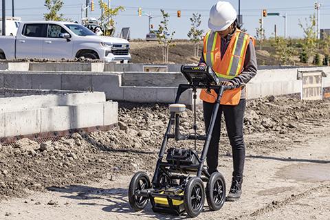
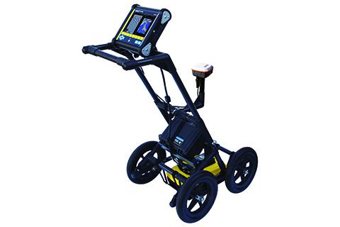
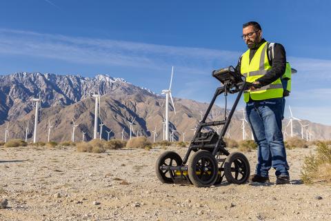
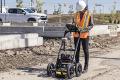
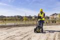
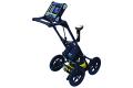
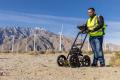
LMX150™ 是一款专为定位和测绘需求打造的紧凑型高分辨率公用设施定位系统。
LMX150™ GPR 补充了传统的管道和电缆定位仪,让您能够定位地面以下的目标,例如:
- 金属公用设施,包括管道和电缆
- 非金属管道,包括聚氯乙烯和石棉水泥
- 混凝土雨水和下水道系统
- 安装示踪线失败的公用设施
- 地下储罐和排水瓦管
- 化粪池系统部件
- 光纤电缆
- 非公用设施结构,如拱顶、基础墙和混凝土垫层
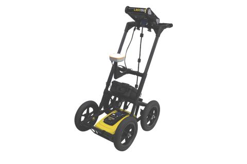
LMX150SG 系统是一种一体化、即插即用的解决方案,可为 LMX150 GPR 数据添加高精度定位功能。SG 套件可在现场以及后期处理期间提供巨大的定位和测绘优势。
Data from the LMX150 system can be exported to the EKKO_Project GPR Software for further analysis and reporting.
终身免费系统软件更新
用户可选语言
美制和公制单位
没有干扰 GPR 信号的金属部件
坚固耐用的全地形推车,集成里程表,可在任何表面轻松操作
从您的显示单元生成即时现场报告
USB 便于数据传输
为 GPR 数据添加高精度定位和测绘功能
将 GPR 结果整合到您首选的测绘解决方案中
包含在 LMX150SG 系统中,可作为附件提供
用于接收地理参照数据的集成 GPS 接收器
持久续航
可插拔
本地可用
内置 Wi-Fi 功能
Innovative ultra-wideband (UWB) 500MHz GPR antenna
扫描深度可达 3 m (10 ft)
功能包括:带 SplitView、网格扫描、MapView(地图视图)的线扫描模式
Touch the screen to add color-coded interpretations to identified targets as you collect.
Send marked targets to supported mapping applications in the field and bring GPR results into existing mapping workflows.*
∗ External GNSS receiver required
View GPR cross-sections alongside your survey map to help recognize linear utility patterns.*
Generate depth slices in the field using guided grids or GNSS-positioned survey lines.
View survey paths, depth slices, field interpretations and flags together.*
Generate PDF reports with screenshots and interpretations. Export CSV and KMZ files for further use.
Pair your LMX200™ with a preconfigured high-accuracy** Juniper® Geode GNSS receiver, with connectivity, setup and battery management handled at the system level.
Lightweight cart with integrated odometer and ultra-wideband (UWB) 500MHz sensor. One battery powers the display, sensor and optional GNSS.
*External GNSS receiver required.
** indicates need to qualify high-accuracy.
软件
- 查看更多

Download the latest LMX150™ embedded system software to get the most out of your existing system.
Video
