


RD Map+
Mapping and Digital Solutions
Precision Locator Range
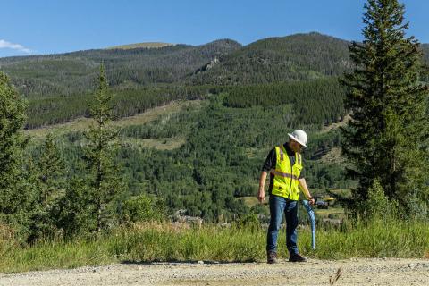
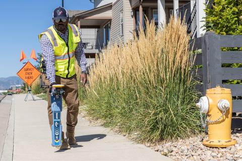
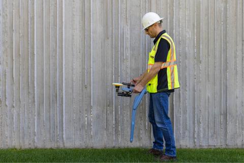
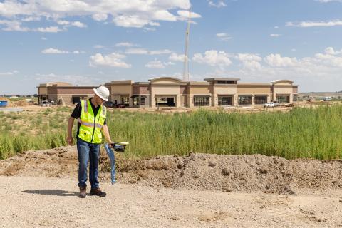
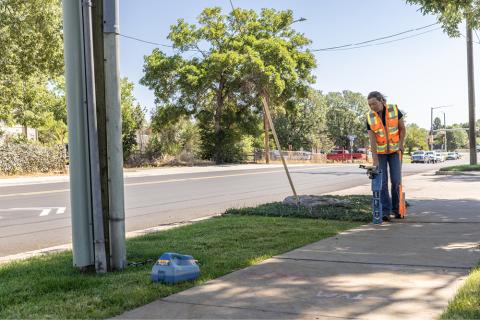
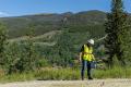
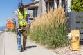
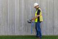
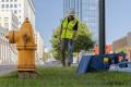
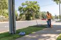
Locate and map buried utilities in a single operation with RD Map™+ and your Radiodetection Precision Locator.
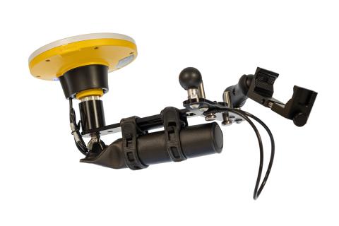
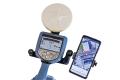
RD Map+ is the Map&Share™ Android app for Radiodetection's Precision Locators which integrates with the Trimble® Catalyst™ GNSS System to deliver Survey Grade position accuracy to locate operations and to allow locator technicians to create detailed maps of the buried utilities.
Map It Your Way
Flexibility is at the heart of our mapping solutions, allowing customers to choose the solution that is most suitable for their business. We offer turnkey solutions for those new to the world of utility mapping, while utility mapping experts can connect into their advanced systems.
RD Map+ support and training material can be found in our online learning zone .
RD Map+ is free to download and use from the Google Play store. A Premium license is required to create Survey-Grade digital maps.
![]()
Google Play and the Google Play logo are trademarks of Google LLC.
Compatible with the RD8200® locators, RD7100® RF marker and all RD8100® locators.
Built in integration of the Catalyst™ DA2 GNSS system which delivers high accuracy position measurements via satellite and without requiring an active data connection.
Set up your required vertical and/or horizontal job accuracy to use the built in traffic light accuracy indicator system which turns green when you are ready to go.
RD Map+ has a built in comprehensive manual and videos library to help you get the most of your system. Ask technical questions directly from within the app.
Create and share job files that includes multiple utilities, with path and icons which supports standard coded colors (Premium license required).
Advantages
-
The RD Map+ and Trimble Catalyst™ DA2 can be used with most Precision locators (RD8200G, RD8200, all RD8100 and RD7100M).
The phone and GNSS support bracket is attached and removed in seconds with no need for tools and ensures that the GNSS antenna is aligned with the utility.
-
No complex setup and management of correction services thanks to the Trimble Catalyst Correction hub and network which provides coverage almost everywhere on dry land.
Refer to Trimble Global Coverage map for more detailed information.
-
It simply integrates to your locate workflows to allow locator technicians to create digital maps without the need of special tools or training.
-
RD Map+ uses the powerful and intuitive Google Map technology which simplifies map review and editing.
Every time a measurement is taken using your locator, this will be automatically transferred and added to the RD Map+ Google Maps screen in real time.
Use common gestures on the RD Map+ screen to change map type, pan, rotate or zoom the map.
Use the distance measure and radius tools to validate the accuracy of your measurements’ position.
Correct errors by moving the marker to the estimated new position