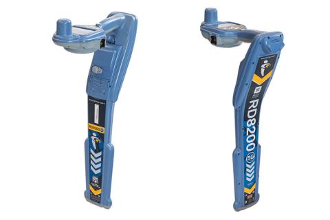

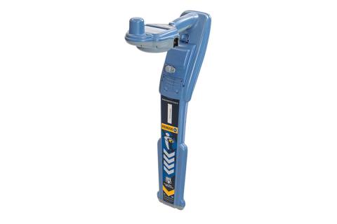


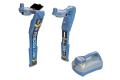
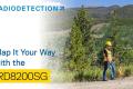
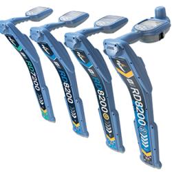
RD8200SG Survey Grade Locator
Mapping and Digital Solutions
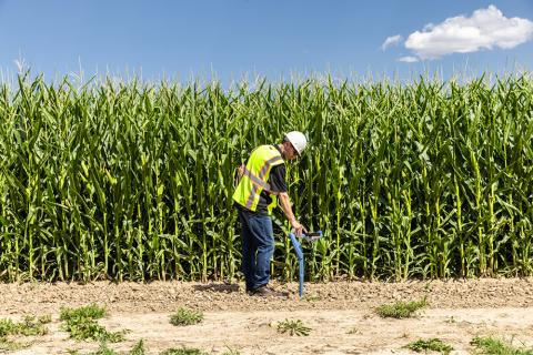
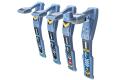
Precision and Marker Locator Range
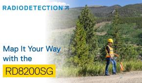
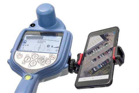
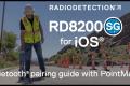
Locate and map buried utilities in a single operation with the RD8200SG - Survey Grade, available for Android™ and iOS®. The RD8200SG is our most advanced, combined mapping and utility locating solution that enables users to map buried utilities with survey grade accuracy. Map It Your Way
Flexibility is at the heart of our mapping solutions, allowing customers to choose the solution that is most suitable for their business. We offer turnkey solutions for those new to the world of utility mapping, while utility mapping experts can connect into their advanced systems.
Choose your preferred mobile app and correction service provider.
Industry standard file formats to use with your mapping software.
Directly export the data from the locator with RD Manager Online.
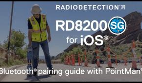
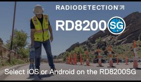
A full list of RD8200SG compatible mobile apps can be found here: RD8200SG Compatible Mobile Apps
Use any Android phone or iOS phone or tablet*
*Minimum operating system required, check app provider for details.
iOS is a trademark or registered trademark of Cisco in the U.S. and other countries and is used under license. Android is a trademark of Google LLC.
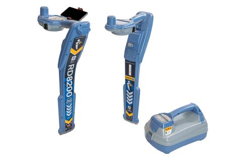
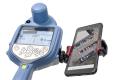
Integrated GNSS antenna.
Automatic antenna offset avoids tilting back.
Bubble for optimum precision.
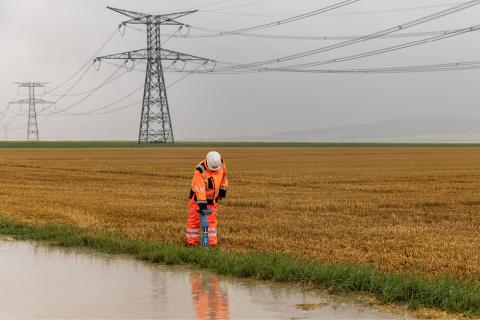
Build a comprehensive inventory of large, buried infrastructure networks.
Minimal additional training for utility operators.
No separate resources required for utility mapping.
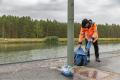
View and build your map on your mobile phone.
Flexible solution, can work with any correction service provider and mapping solution.
Works where cellular data and correction service are available.
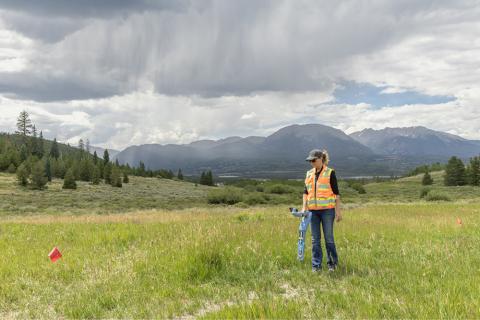
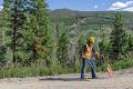
Walk the line once.
Simultaneously map and locate utilities, without compromising on quality.
Locate as accurately as possible, map as accurately as possible.
Lightweight and ergonomic.
Rugged design to cope with real world conditions such as rain, dirt and extreme temperatures.
Designed and built in the United Kingdom.
The RD8200SG automatically offsets the distance between the antenna and ground, eliminating the need to tilt back.
Capture points with a single button press.
Points are quickly transferred to your mobile app.
Software
- Find out more
RD Manager™ Online is the Windows® PC software package for Radiodetection’s Precision and RF Marker locator ranges.
Video