


Locating underground cables and pipes
Esri™ ArcGIS™ Field Maps Integration
Radiodetection and Esri bring direct ArcGIS Field Maps integration to utility locating - streamlining workflows and connecting your field data instantly to ArcGIS.
Solutions
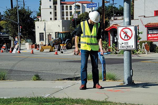
RD8200 Cable and Pipe Locators
High-precision technology designed to reduce utility strikes and help operators work efficiently in the field.
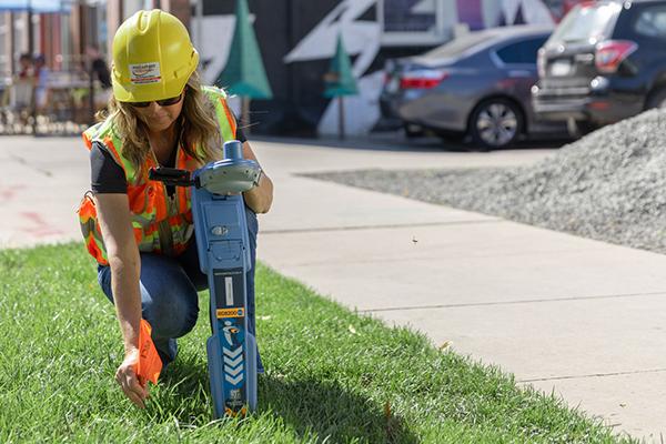
RD8200SG Survey Grade Locator
Locate and map buried utilities in one operation with survey-grade accuracy, helping teams capture reliable field data.

Cable Avoidance Tools
C.A.T and Genny tools help professionals locate buried cables, follow best locating practice and reduce strike risk.

LMX200™ GPR
Ground-penetrating radar helps reveal non-metallic pipes, cables and other buried features that traditional locators may miss.
Industries We Serve
All Industries
Resources
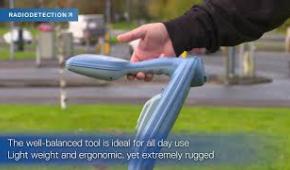
Our Most advanced precision locators : RD8200 and RD7200
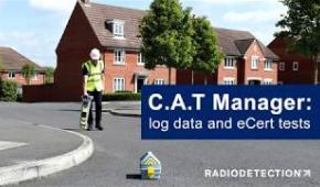
C.A.T Manager: Log Data and eCert Tests
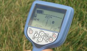
Depth Current Compass on your Precision Locator
Adjusting Power on your Precision Locator