


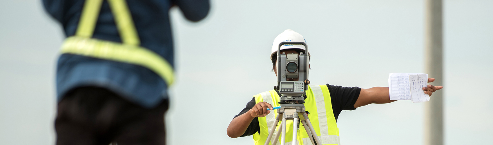
Survey
Professional surveyors often work in the most diverse and difficult to access locations to create maps and establish boundaries for ownership, locations, construction or the surface location of subsurface features.
They require locating equipment that is easy to transport and use, and that can detect the presence of diverse buried utilities or other objects such as properties’ boundary markers, manhole covers, septic or water tanks and many other buried structures reliably and efficiently.
Radiodetection offers a wide selection of Electromagnetic, Ground Penetrating Radar, Acoustic and Magnetic locating solutions that can help identify different materials and their exact depth, allowing the creation of detailed maps. Many products offer built in GPS or wireless connectivity to third party high accuracy GNSS systems, while our mobile apps allow the creation of detailed maps directly from the field.
Why use a cable and pipe locator system?
Reduce Risks
First and foremost, increase the safety of your site personnel by lowering the number of cables and pipes they hit. Strikes are a significant danger to health and can cause serious injury, sometimes even death.
Save time
Strikes to cables and pipes will almost inevitably lead to wasteful delays to your project.
Reduce Costs
Help prevent damage to utilities and disruptions to services, which can be costly to repair and damaging to your reputation.
Avoid Penalties
Lower your exposure to compensation and fines for non-compliance to regulations.
Solutions for the Survey Industry
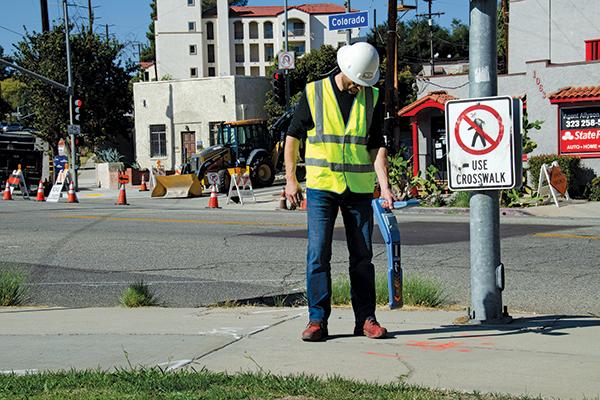
RD8200 Cable and Pipe Locators
Damage prevention and operational efficiency are the biggest challenges facing our customers. Solve these problems with the new RD8200®. Designed with the operator in mind, it is our most advanced and capable range of precision locators.
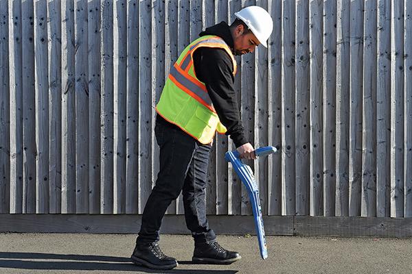
RD7200 Cable and Pipe Locator
Locating and marking buried utilities quickly, accurately and safely. The new RD7200 is a no compromise all-industry locator, designed for accurate and effective every day use.
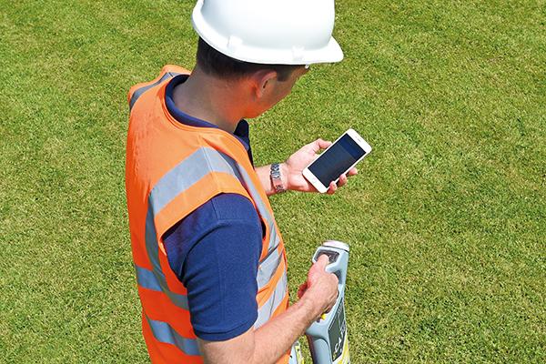
C.A.T and Genny
A comprehensive range of Cable Avoidance Tools helping professionals to drive best locating practice, to reduce the number of cable strikes, and to dig more safely.
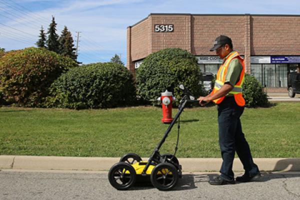
LMX100™ GPR
Our Sensors & Software LMX100™ completes the locator’s toolbox, offering a more complete picture of the underground infrastructure. With a simple, easy-to-use interface it also offers the perfect balance of depth penetration and high resolution for accurate locating.
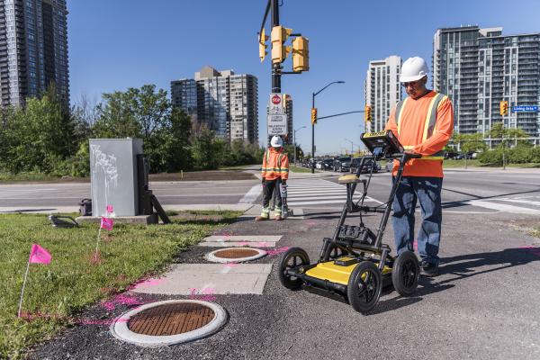
LMX200™ GPR
The LMX200™ provides unprecedented insights and target confidence to detect traditionally non-locatable subsurface features
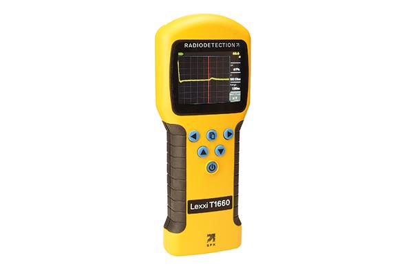
Lexxi T1660
Radiodetection’s Lexxi T1660 provides an unrivalled combination of performance, usability and economy. Radiodetection has created Lexxi T1660 by taking the easy-to-hold ergonomics familiar to users of the Riser Bond Model 1550 and Bicotest Lexxi T810 and installing a unique TDR engine and a 3.5” color back-lit display.
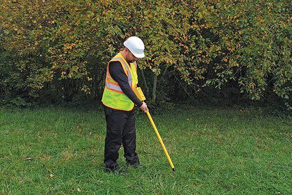
GA-52Cx Magnetic Locator
The GA-52Cx Locator detects the magnetic field of iron and steel objects, with unmatched sensitivity.
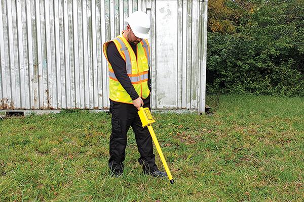
GA-72Cd Magnetic Locator
The GA-72Cd Locator detects the magnetic field of iron and steel objects. It provides audio detection signals that peak in frequency when the locator’s tip is held directly over the target. The GA-72Cd has the option of nulling or peaking.
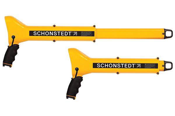
GA-92XTd Magnetic Locator
Our popular GA-92XTd magnetic locator was introduced in 2002 and quickly became known as perhaps the most portable and easy-to-use magnetic metal locator on the market.
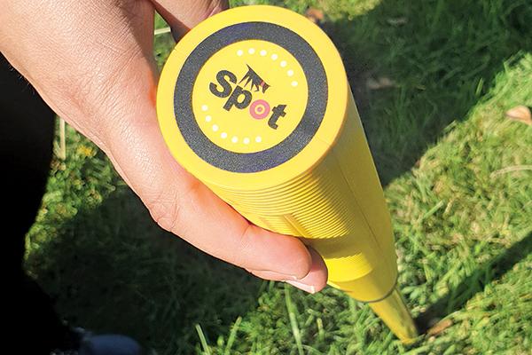
Spot Magnetic Locator
Spot, the “Next Generation Stick Locator” offers accuracy and ease of use in a sleek, light-weight package with improved ergonomics. If you are looking for high accuracy at a lower cost, put Spot on the trail of your next locate!
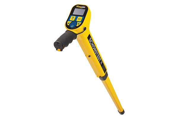
Maggie Magnetic Locator
The Maggie is a pistol-grip magnetic locator that combines sensitivity and precision with single-handed operation and a visual display. The Maggie combines the best features of two flagship Schonstedt products: the sensitivity and precision of the GA-52Cx, and the single-handed operation of the GA-92XT.