


Radiodetection® is proud to announce a breakthrough integration with Esri®, bringing ArcGIS® Field Maps connectivity to Radiodetection Survey-Grade locators, powered by the MyRD™ app. Free to download and use, MyRD acts as the bridge between Radiodetection Survey-Grade locators and ArcGIS Field Maps, bringing utility locating and GIS data capture together in one connected workflow.
For customers, the value is immediate. Field teams can continue using their Radiodetection locator and ArcGIS Field Maps in the way they already work today, without adding extra steps, changing familiar processes or introducing a separate cloud platform. Locate data is captured in real time and sent directly into ArcGIS via the Field Maps app, supporting more efficient workflows and helping provide timely access to field-collected information.
Locate. Capture. Share.
By connecting high-accuracy Radiodetection locating hardware directly with the ArcGIS platform, organisations can now capture utility locate information and synchronize it directly into their GIS environment. There is no additional cloud service to manage, no duplicate data pathway to secure and no waiting for separate upload or post-processing before information becomes available within ArcGIS.
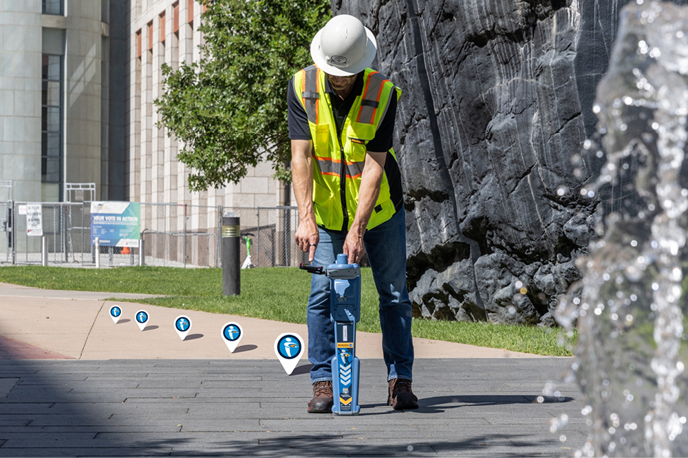
The integration is designed to enhance existing workflows, not disrupt them. Crews can use ArcGIS Field Maps as their field interface while Radiodetection hardware provides accurate locate and positioning data.
- Connect compatible Radiodetection locators to ArcGIS Field Maps through the free MyRD app
- Reduce field time by streamlining utility locating and GIS updates in one workflow
- Reduce manual data entry and the potential for errors
- Improve operational decision-making with near real-time access to field-verified information
Available as an enhancement to existing products
The new capability is being offered by both Radiodetection and Esri as an additional feature on existing products, helping customers gain more value from the tools they already trust. For utility owners, contractors and GIS teams, it creates a simpler, faster and more connected approach to capturing high-quality locate data in the field.
The precision you trust, powered by the software you rely on.
Coming soon: The MyRD app is available for free download from your app store November 9 onwards.
Learn more
Esri marks are used herein under license from Esri.
