


Esri ArcGIS Field Maps Integration
Mapping and GIS
Radiodetection and Esri® bring direct ArcGIS® Field Maps integration to utility locating - streamlining workflows and connecting your field data instantly to ArcGIS. A seamless flow from device to ArcGIS cloud delivers the precision you trust, powered by the software you rely on.
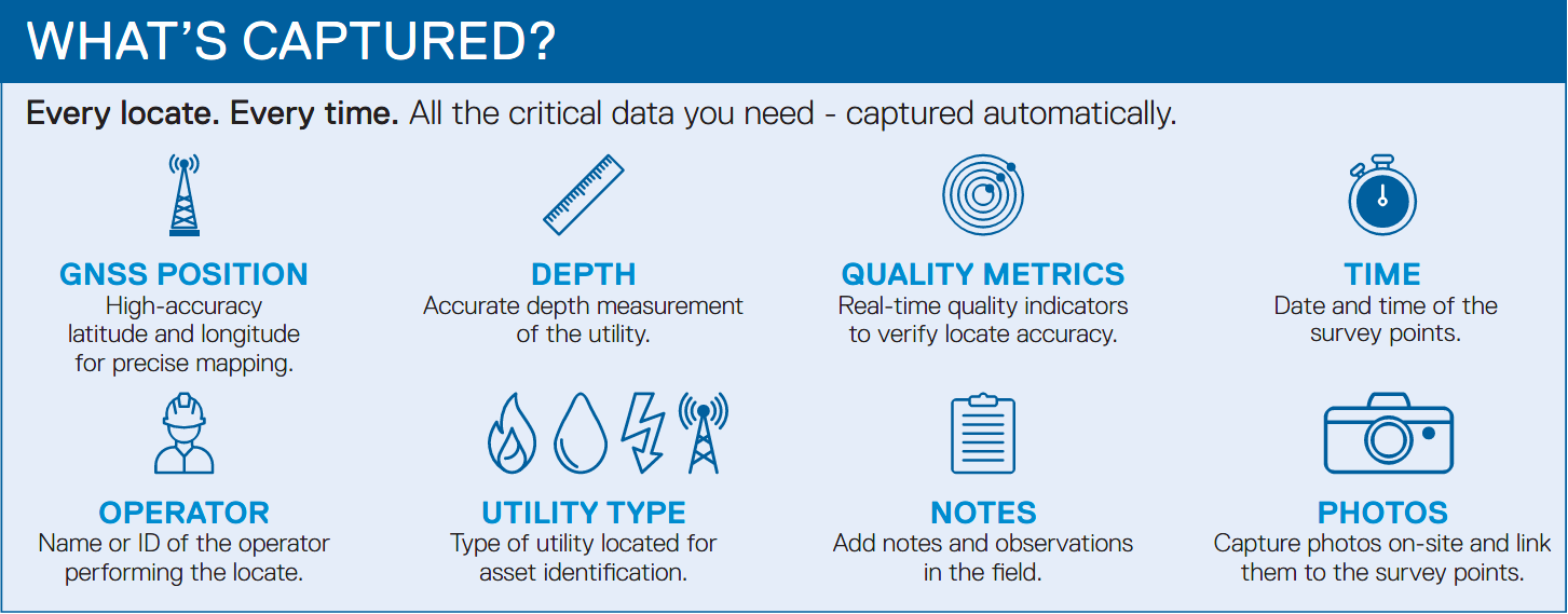
Locate underground utilities with confidence using Radiodetection Survey-Grade Locators. Capture survey-grade data and validate existing lines with GNSS, depth, current, locate quality metrics, photos, annotations and more. Data is sent directly to ArcGIS in the cloud. View, manage and analyze your data inside your ArcGIS environment.
Streamline workflows and reduce manual transfer between the field and GIS.
Connect field-collected information to ArcGIS without waiting for post-processing or third-party apps to synchronize.
Capture the locate and GNSS data in an integrated workflow, eliminating the need for multiple passes.
High-accuracy data from Radiodetection hardware, kept within your trusted ArcGIS environment.
Timely, field-verified information helps teams maintain accurate subsurface utility records.
Radiodetection’s MyRD™ app connects your SG locator to Esri ArcGIS Field Maps via Bluetooth® Wireless Technology - running in the background to support a seamless flow of locate data while you work in Field Maps.
Esri marks are used herein under license from Esri.
The Bluetooth® word mark and logos are registered trademarks owned by Bluetooth SIG, Inc. and any use of such marks by Radiodetection is under license.