


Cable and Pipe Locator Experts
Esri® ArcGIS® Field Maps Integration
Radiodetection and Esri bring direct ArcGIS Field Maps integration to utility locating - streamlining workflows and connecting your field data instantly to ArcGIS.
Solutions
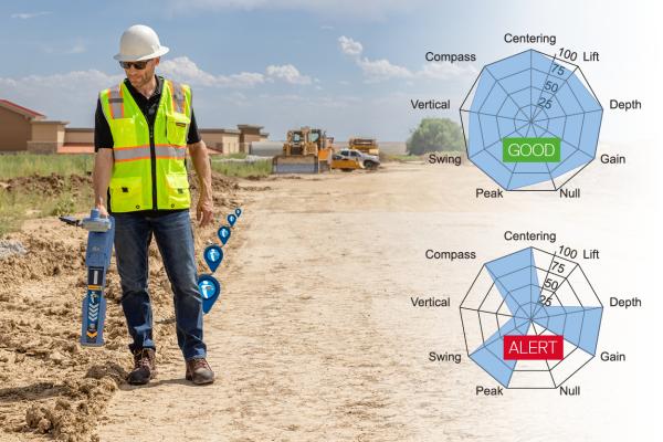
Locate Performance Management
Real-time locate quality assurance, UTTO® mixed-reality training simulator.

RD8200SG Survey Grade Locator
Locate and map buried utilities in a single operation with the RD8200SG - Survey Grade.

MRX RF Marker Locator Range
Detect RF Markers and buried utilities in a single sweep; reducing time, cost, and effort.

LMX200SG GPR
Detect metallic and non-metallic subsurface items with the LMX200 GPR, now with plug-and-play high-accuracy GNSS.


Resources

Our Most advanced precision locators : RD8200 and RD7200

C.A.T Manager: Log Data and eCert Tests

Depth Current Compass on your Precision Locator

Adjusting Power on your Precision Locator