






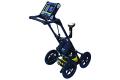


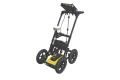

LMX150™ GPR
Ground Penetrating Radar (GPR)
Utility locating with GPR made simple
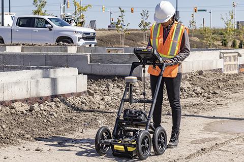
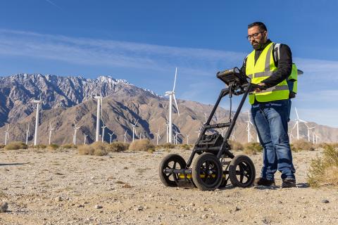
The LMX150™ GPR system complements traditional pipe and cable locators and helps locate and map targets below the surface, including:
- Metal utilities, including pipes and cables
- Non-metallic pipes, including PVC and asbestos cement
- Concrete storm and sewer systems
- Utilities where installed tracer wiring has failed
- Underground storage tanks and drainage tiles
- Septic system components
- Fiber optic cables
- Non-utility structures such as vaults, foundation walls and concrete pads
Utility locating professionals, contractors, engineers, utility owners and public agencies need reliable subsurface information to support project planning, safer excavation and informed decisions in the field.
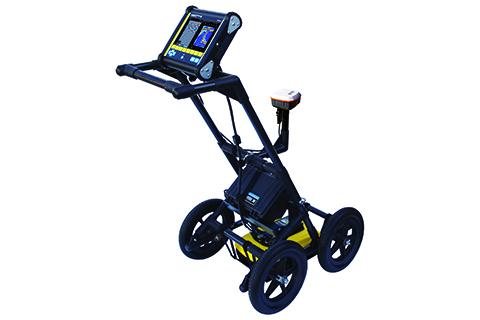
The LMX150™ has tools to interpret targets, visualize subsurface features, map results and document findings – helping teams to better understand the survey area and communicate their results. With a compatible external GNSS receiver, use SplitView™ and MapView™ to view results spatially and send marked targets to supported mapping applications.
Data from the LMX150 system can be exported to the EKKO_Project GPR Software for further analysis and reporting.
Touch the screen to add color-coded interpretations to identified targets as you collect.
Send marked targets to supported mapping applications in the field and bring GPR results into existing mapping workflows.*
∗ External GNSS receiver required
View GPR cross-sections alongside your survey map to help recognize linear utility patterns.*
Generate depth slices in the field using guided grids or GNSS-positioned survey lines.
View survey paths, depth slices, field interpretations and flags together.*
Generate PDF reports with screenshots and interpretations. Export CSV and KMZ files for further use.
Pair your LMX200™ with a preconfigured high-accuracy** Juniper® Geode GNSS receiver, with connectivity, setup and battery management handled at the system level.
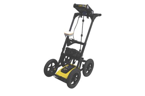
Lightweight cart with integrated odometer and ultra-wideband (UWB) 500MHz sensor. One battery powers the display, sensor and optional GNSS.
*External GNSS receiver required.
** indicates need to qualify high-accuracy.
Software
- Find out more

Download the latest LMX150™ embedded system software to get the most out of your existing system.
Video

Downloads
Brochure
- LMX150 GPR – Brochure (3.4MB)
- LMX150 and LMX200 GPR – Brochure (1.3MB)
- LMX150 GPR – Accessory Brochure (367.3KB)
- Mapping Solutions - Family Brochure - V4 (5MB)